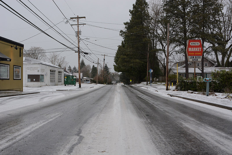
After a week of deep snow pack and ice, the weather is transitioning to warmer temperature and heavy rain.
“A series of storm systems will bring periods of heavy rain and warmer temperatures this week,” Says the National Weather Service Office in Portland. “The combination of heavy rain and melting snow will increase our flood potential, with flooding possible late Tuesday through late Thursday.”
Johnson Creek in Tideman-Johnson Park may reach high levels or flood stage during the thaw.
The NWS Forecast Office also says small stream and urban flooding is likely, particularly near snow or ice-clogged storm drains.
Last week’s heavy snowpack and snow plowing may have covered several storm drains. Clogged storm drains may cause localized flooding in the flat areas of Ardenwald.
The thaw may also pose a risk for landslides, especially inside the Springwater Trail Corridor between SE 28th Ave. and SE 45th Ave.
Sandbags are available for free at self-service stations:
- For Milwaukie residents, visit http://www.milwaukieoregon.gov/publicworks/sandbags-flood-season.
- For Portland residents, visit http://www.portlandoregon.gov/transportation/article/319872.
Photo: Bryan Dorr